Research
Methods & Algorithms

Virtual laser scanning is a tool to create simulated point cloud data as would be acquired by a LiDAR sensor. In our open source project HELIOS++ we develop the method of VLS further to provide e.g. training data for machine learning, survey planning, ground truth creation, education, etc.
Virtual Laser Scanning for Machine Learning
We investigate the close coupling of learning algorithms with virtual laser scanning and real point cloud data to use benefits of both 1) the realism of real − but sparse − training data and 2) the multitude of options of object-sensor interactions that can be generated with VLS.
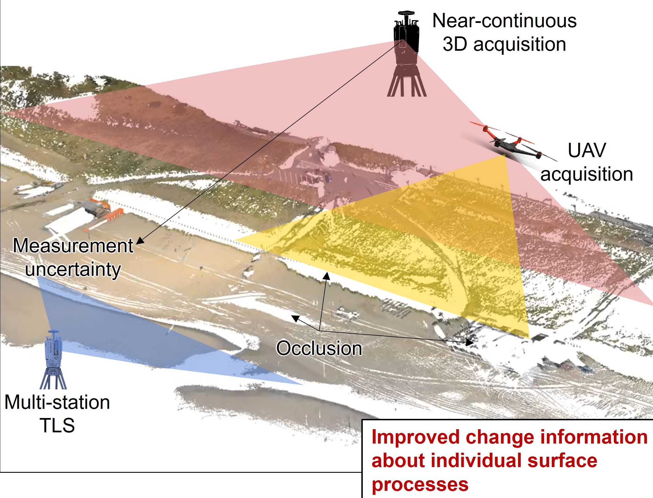
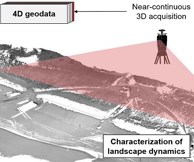
Time series-based 3D change analysis of natural surfaces enables to extract surface changes forming objects-by-change in their varying spatial and temporal extents from large and dense 4D geospatial point clouds.

M3C2-EP presents how error propagation for 3D change detection can be used to accurately quantify the minimum detectable change, the so-called Level of Detection. Measurement and processing uncertainties are included and the concept can be extended to more complex error models.
Methods of multi-directional change quantification provide an alternative view of movement where change processes operate in a direction that is not surface-normal, the underlying process(es) may not be known and movement(s) across the point cloud scene is not oriented along a single axis.
Research Projects and Grants
| Current Projects | Former Projects |

DFG (2024-2027)
Katharina Anders, Jiapan Wang, Hannah Weiser, Bernhard Höfle

Fostering a community-driven and sustainable HELIOS++ scientific software
DFG (2024-2027)
Bernhard Höfle, Dominic Kempf, Hannah Weiser

BMBF (2023-2025)
Bernhard Höfle, Ronald Tabernig, Vivien Zahs

Baden-Württemberg Stiftung (2023-2026)
Bernhard Höfle, Katharina Anders, Vivien Zahs

DFG (2022–2025)
Bernhard Höfle, Alberto Esmorís Pena, Hannah Weiser, Lukas Winiwarter
COST - European Cooperation in Science & Technology (2021–ongoing)
Martin Mokroš et al.

Heidelberg University (2019–ongoing)
Bernhard Höfle, Katharina Anders, Lukas Winiwarter

Heidelberg University (2019–ongoing)
Bernhard Höfle et al.

